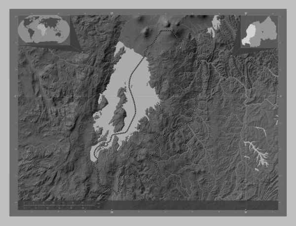
Iburengerazuba Province Rwanda Grayscale Elevation Map Lakes Rivers Locations Names — Zdjęcie stockowe

Iburengerazuba, province of Rwanda. Grayscale elevation map with lakes and rivers. Locations and names of major cities of the region. Corner auxiliary location maps — Obraz stockowy

Iburengerazuba, province of Rwanda. Grayscale elevation map with lakes and rivers. Locations and names of major cities of the region. Corner auxiliary location maps

 — Zdjęcie od Yarr65

Ta sama seria:

Iburengerazuba, province of Rwanda. Grayscale elevation map with lakes and rivers. Corner auxiliary location maps
Iburengerazuba Province Rwanda Grayscale Elevation Map Lakes Rivers Corner Auxiliary — Zdjęcie stockowe
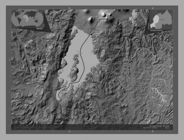
Iburengerazuba, province of Rwanda. Bilevel elevation map with lakes and rivers. Locations and names of major cities of the region. Corner auxiliary location maps
Iburengerazuba Province Rwanda Bilevel Elevation Map Lakes Rivers Locations Names — Zdjęcie stockowe
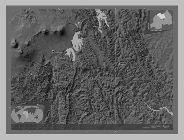
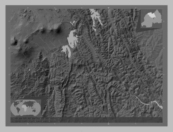
Amajyaruguru, province of Rwanda. Grayscale elevation map with lakes and rivers. Locations and names of major cities of the region. Corner auxiliary location maps
Amajyaruguru Province Rwanda Grayscale Elevation Map Lakes Rivers Locations Names — Zdjęcie stockowe
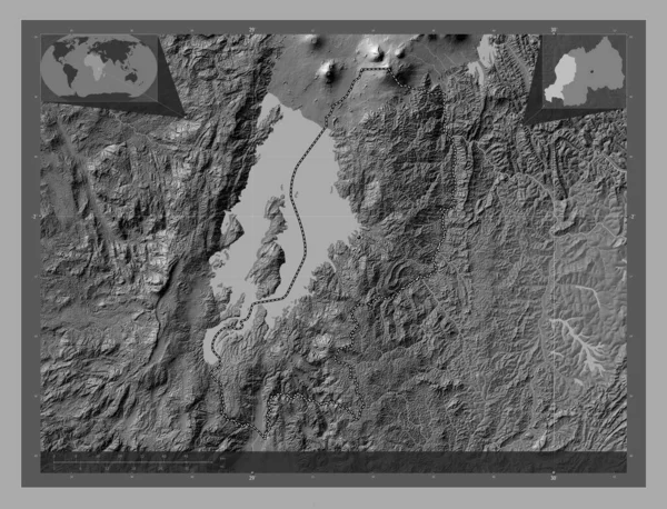
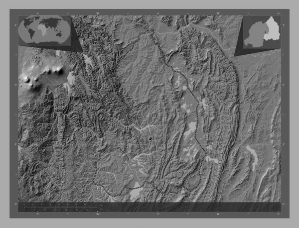
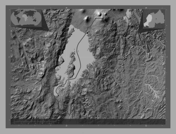
Iburengerazuba, province of Rwanda. Bilevel elevation map with lakes and rivers. Corner auxiliary location maps
Iburengerazuba Province Rwanda Bilevel Elevation Map Lakes Rivers Corner Auxiliary — Zdjęcie stockowe
Vrancea, county of Romania. Bilevel elevation map with lakes and rivers. Corner auxiliary location maps
Vrancea County Romania Bilevel Elevation Map Lakes Rivers Corner Auxiliary — Zdjęcie stockowe
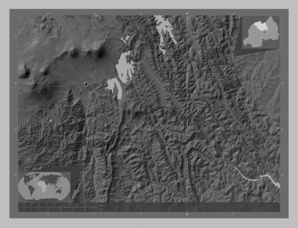
Amajyaruguru, province of Rwanda. Grayscale elevation map with lakes and rivers. Corner auxiliary location maps
Amajyaruguru Province Rwanda Grayscale Elevation Map Lakes Rivers Corner Auxiliary — Zdjęcie stockowe
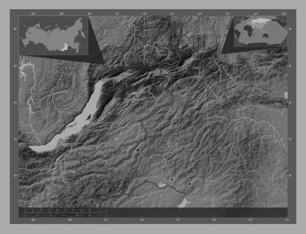
Zabaykal'ye, territory of Russia. Bilevel elevation map with lakes and rivers. Locations of major cities of the region. Corner auxiliary location maps
Zabaykal Territory Russia Bilevel Elevation Map Lakes Rivers Locations Major — Zdjęcie stockowe
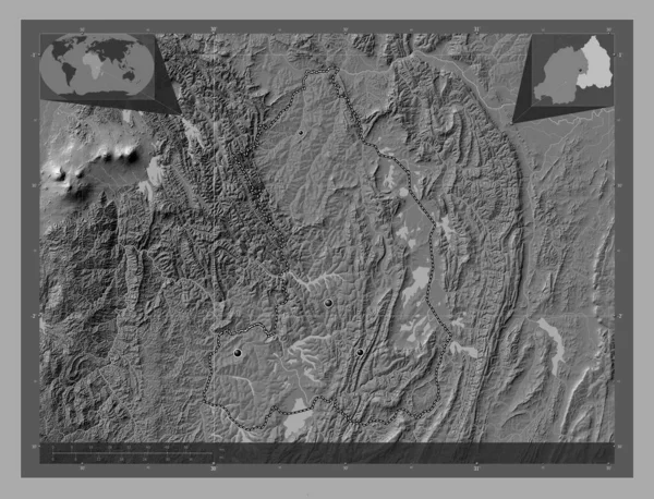
Iburasirazuba, province of Rwanda. Bilevel elevation map with lakes and rivers. Locations of major cities of the region. Corner auxiliary location maps
Iburasirazuba Province Rwanda Bilevel Elevation Map Lakes Rivers Locations Major — Zdjęcie stockowe
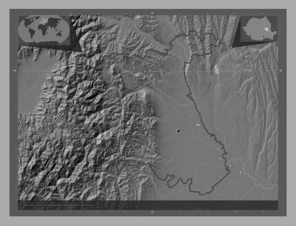
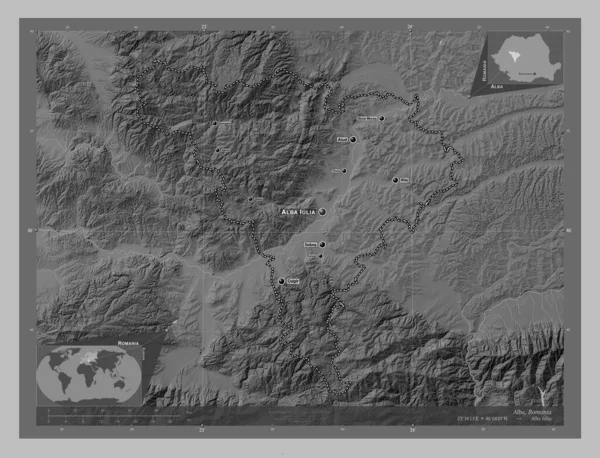
Alba, county of Romania. Grayscale elevation map with lakes and rivers. Locations and names of major cities of the region. Corner auxiliary location maps
Alba County Romania Grayscale Elevation Map Lakes Rivers Locations Names — Zdjęcie stockowe
Iburasirazuba, province of Rwanda. Bilevel elevation map with lakes and rivers. Corner auxiliary location maps
Iburasirazuba Province Rwanda Bilevel Elevation Map Lakes Rivers Corner Auxiliary — Zdjęcie stockowe
Amajyaruguru, province of Rwanda. Grayscale elevation map with lakes and rivers. Locations of major cities of the region. Corner auxiliary location maps
Amajyaruguru Province Rwanda Grayscale Elevation Map Lakes Rivers Locations Major — Zdjęcie stockowe
Iburengerazuba, province of Rwanda. Bilevel elevation map with lakes and rivers. Locations of major cities of the region. Corner auxiliary location maps
Iburengerazuba Province Rwanda Bilevel Elevation Map Lakes Rivers Locations Major — Zdjęcie stockowe
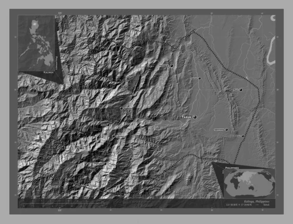
Kalinga, province of Philippines. Bilevel elevation map with lakes and rivers. Locations and names of major cities of the region. Corner auxiliary location maps
Kalinga Province Philippines Bilevel Elevation Map Lakes Rivers Locations Names — Zdjęcie stockowe
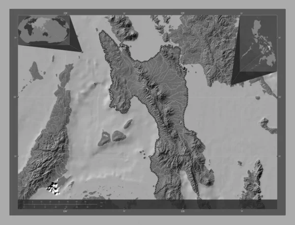
Leyte, province of Philippines. Bilevel elevation map with lakes and rivers. Corner auxiliary location maps
Leyte Province Philippines Bilevel Elevation Map Lakes Rivers Corner Auxiliary — Zdjęcie stockowe
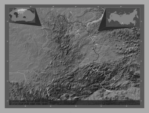
Khakass, republic of Russia. Bilevel elevation map with lakes and rivers. Corner auxiliary location maps
Khakass Republic Russia Bilevel Elevation Map Lakes Rivers Corner Auxiliary — Zdjęcie stockowe
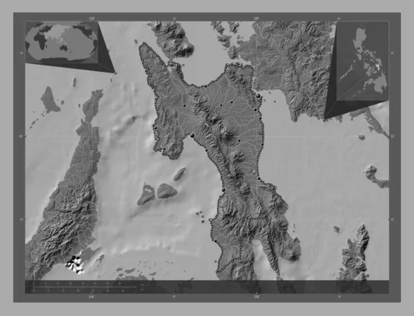
Leyte, province of Philippines. Bilevel elevation map with lakes and rivers. Locations of major cities of the region. Corner auxiliary location maps
Leyte Province Philippines Bilevel Elevation Map Lakes Rivers Locations Major — Zdjęcie stockowe

Informacje o użyciu

Możesz użyć tego zdjęcia bez tantiem "Iburengerazuba, province of Rwanda. Grayscale elevation map with lakes and rivers. Locations and names of major cities of the region. Corner auxiliary location maps" do celów osobistych i komercyjnych zgodnie z licencją standardową lub rozszerzoną. Licencja standardowa obejmuje większość przypadków użycia, w tym reklamy, projekty interfejsu użytkownika i opakowania produktów, i pozwala na wydrukowanie do 500 000 kopii. Licencja rozszerzona zezwala na wszystkie przypadki użycia w ramach Licencji standardowej z nieograniczonymi prawami do druku i pozwala na używanie pobranych obrazów stockowych do celów handlowych, odsprzedaży produktów lub bezpłatnej dystrybucji.

Możesz kupić to zdjęcie stockowe i pobrać je w wysokiej rozdzielczości do 4930x3770. Data wgrania: 30 sty 2023