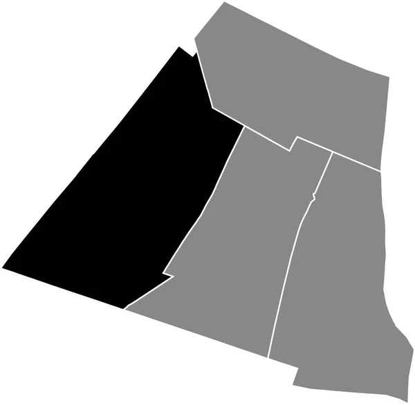
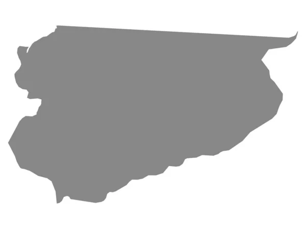
Black Flat Blank Highlighted Location Map Grandes Carrires Quarter Gray — Wektor stockowy

Black flat blank highlighted location map of the GRANDES-CARRIRES QUARTER inside gray administrative map of the 18th arrondissement (des Buttes-Montmartre), Paris, France — Wektor

Black flat blank highlighted location map of the GRANDES-CARRIRES QUARTER inside gray administrative map of the 18th arrondissement (des Buttes-Montmartre), Paris, France

 — Wektor od momcilo.jovanov

Ta sama seria:

Black flat blank highlighted location map of the PLAISANCE QUARTER inside gray administrative map of the 14th arrondissement (de l'Observatoire), Paris, France
Black Flat Blank Highlighted Location Map Plaisance Quarter Gray Administrative — Wektor stockowy
Black flat blank highlighted location map of the PALAIS-ROYAL QUARTER inside gray administrative map of the 1st arrondissement (Du Louvre), Paris, France
Black Flat Blank Highlighted Location Map Palais Royal Quarter Gray — Wektor stockowy
Czarna zaznaczona mapa lokalizacji regionu Hodh Ech Chargui w Mauretanii
Czarna Zaznaczona Mapa Lokalizacji Regionu Hodh Ech Chargui Mauretanii — Wektor stockowy
Black flat blank highlighted location map of the SAINT-GERMAIN-L'AUXERROIS QUARTER inside gray administrative map of the 1st arrondissement (Du Louvre), Paris, France
Black Flat Blank Highlighted Location Map Saint Germain Auxerrois Quarter — Wektor stockowy
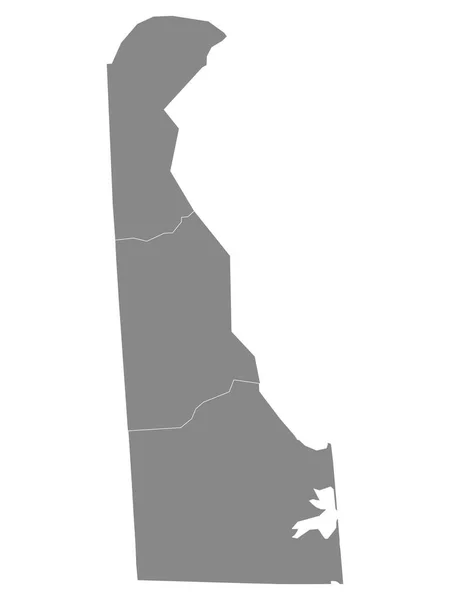
Szary zarys hrabstw Mapa stanu Delaware w USA
Szary Zarys Hrabstw Mapa Stanu Delaware Usa — Wektor stockowy
Black flat blank highlighted location map of the SALPTRIRE QUARTER inside gray administrative map of the 13th arrondissement (des Gobelins), Paris, France
Black Flat Blank Highlighted Location Map Salptrire Quarter Gray Administrative — Wektor stockowy
Black flat blank highlighted location map of the LES HALLES QUARTER inside gray administrative map of the 1st arrondissement (Du Louvre), Paris, France
Black Flat Blank Highlighted Location Map Les Halles Quarter Gray — Wektor stockowy
Prosta czarna mapa wektorowa Islamskiej Republiki Mauretańskiej
Prosta Czarna Mapa Wektorowa Islamskiej Republiki Mauretańskiej — Wektor stockowy
Black flat blank highlighted location map of the BEL-AIR QUARTER inside gray administrative map of the 12th arrondissement (de Reuilly), Paris, France
Black Flat Blank Highlighted Location Map Bel Air Quarter Gray — Wektor stockowy
Black flat blank highlighted location map of the QUINZE-VINGTS QUARTER inside gray administrative map of the 12th arrondissement (de Reuilly), Paris, France
Black Flat Blank Highlighted Location Map Quinze Vingts Quarter Gray — Wektor stockowy
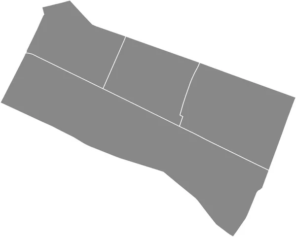
Gray flat blank vector administrative map of the 1ST ARONDISSEMENT (DU LOUVRE), PARIS, FRANCE with black border lines of its quarters
Gray Flat Blank Vector Administrative Map 1St Arondissement Louvre Paris — Wektor stockowy
Black flat blank highlighted location map of the LA GARE QUARTER inside gray administrative map of the 13th arrondissement (des Gobelins), Paris, France
Black Flat Blank Highlighted Location Map Gare Quarter Gray Administrative — Wektor stockowy
Szara płaska mapa województwa warmińsko-mazurskiego
Szara Płaska Mapa Województwa Warmińsko Mazurskiego — Wektor stockowy
Black flat blank highlighted location map of the PICPUS QUARTER inside gray administrative map of the 12th arrondissement (de Reuilly), Paris, France
Black Flat Blank Highlighted Location Map Picpus Quarter Gray Administrative — Wektor stockowy
Kolor czarny CMYK szczegółowa płaska mapa kraju związkowego TENNESSEE, Stany Zjednoczone Ameryki na przejrzystym tle
Kolor Czarny Cmyk Szczegółowa Płaska Mapa Kraju Związkowego Tennessee Stany — Wektor stockowy
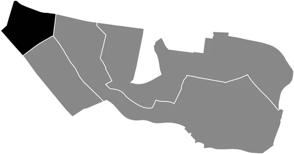
Black flat blank highlighted location map of the CROULEBARBE QUARTER inside gray administrative map of the 13th arrondissement (des Gobelins), Paris, France
Black Flat Blank Highlighted Location Map Croulebarbe Quarter Gray Administrative — Wektor stockowy

Informacje o użyciu

Możesz użyć tego obrazu wektorowego bez tantiem "Black flat blank highlighted location map of the GRANDES-CARRIRES QUARTER inside gray administrative map of the 18th arrondissement (des Buttes-Montmartre), Paris, France" do celów osobistych i komercyjnych zgodnie z licencją standardową lub rozszerzoną. Licencja standardowa obejmuje większość przypadków użycia, w tym reklamy, projekty interfejsu użytkownika i opakowania produktów, i pozwala na wydrukowanie do 500 000 kopii. Licencja rozszerzona zezwala na wszystkie przypadki użycia w ramach licencji standardowej z nieograniczonymi prawami do druku i pozwala na używanie pobranych plików wektorowych do celów handlowych, odsprzedaży produktów lub bezpłatnej dystrybucji.

Ten obraz wektorowy jest skalowalny do dowolnego rozmiaru. Możesz go kupić i pobrać w wysokiej rozdzielczości do 6022x3936. Data wgrania: 3 maj 2022