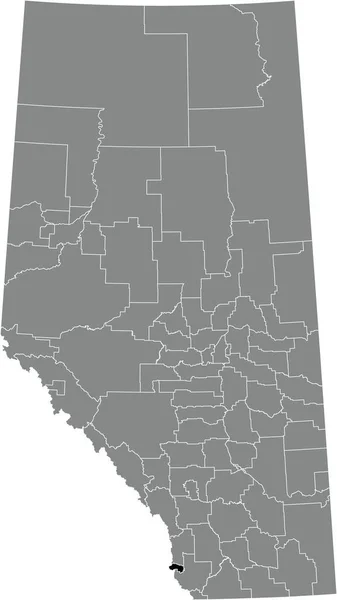
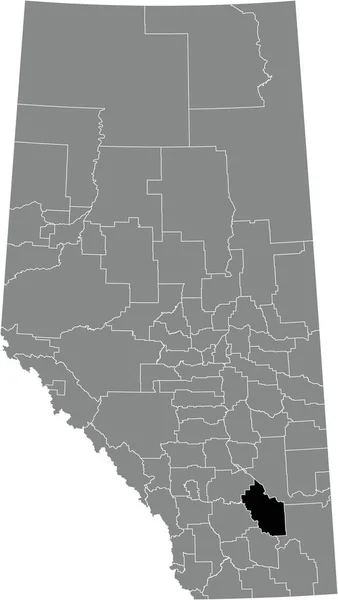
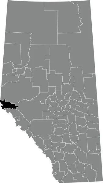
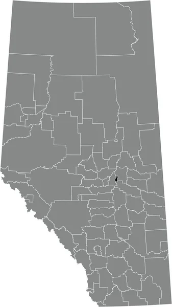
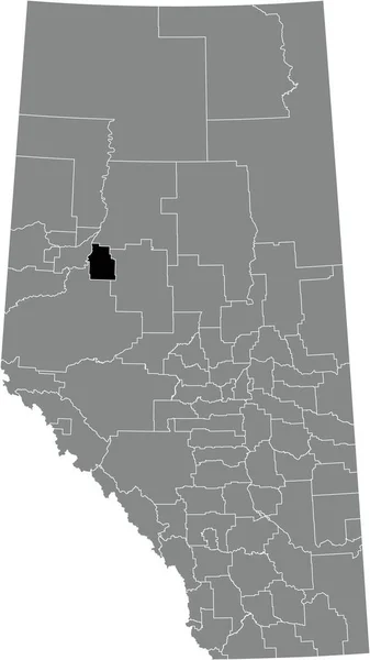
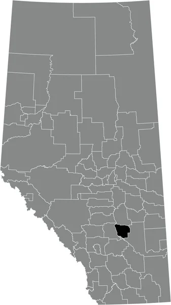
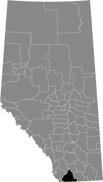
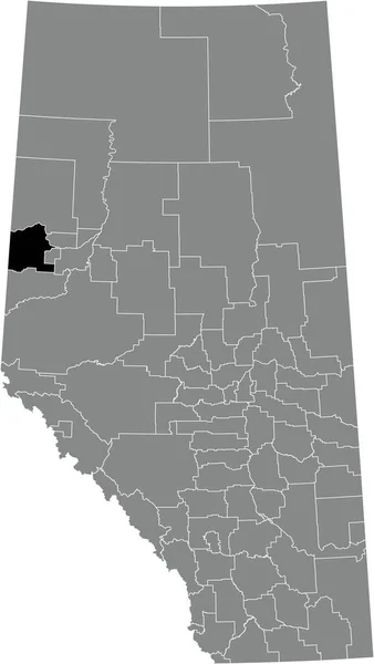
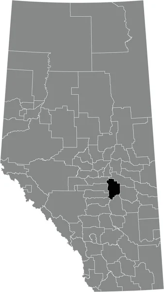
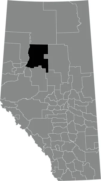
Black Flat Blank Highlighted Location Map Ranchland Municipal District Gray — Wektor stockowy

Black flat blank highlighted location map of the RANCHLAND NO. 66 municipal district inside gray administrative map of the Canadian province of Alberta, Canada — Wektor

Black flat blank highlighted location map of the RANCHLAND NO. 66 municipal district inside gray administrative map of the Canadian province of Alberta, Canada

 — Wektor od momcilo.jovanov

Ta sama seria:

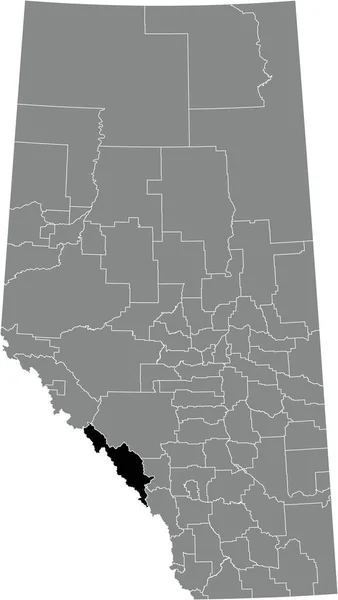
Black flat blank highlighted location map of the CROWSNEST PASS specialized municipality inside gray administrative map of the Canadian province of Alberta, Canada
Black Flat Blank Highlighted Location Map Crowsnest Pass Specialized Municipality — Wektor stockowy
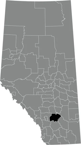
Black flat blank highlighted location map of the COUNTY OF NEWELL municipal district inside gray administrative map of the Canadian province of Alberta, Canada
Black Flat Blank Highlighted Location Map County Newell Municipal District — Wektor stockowy
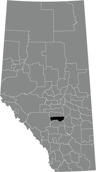
Black flat blank highlighted location map of the IMPROVEMENT DISTRICT NO. 25 (WILLMORE WILDERNESS) inside gray administrative map of the Canadian province of Alberta, Canada
Black Flat Blank Highlighted Location Map Improvement District Willmore Wilderness — Wektor stockowy
Black flat blank highlighted location map of the IMPROVEMENT DISTRICT NO. 13 (ELK ISLAND) inside gray administrative map of the Canadian province of Alberta, Canada
Black Flat Blank Highlighted Location Map Improvement District Elk Island — Wektor stockowy
Black flat blank highlighted location map of the SMOKY RIVER NO. 130 municipal district inside gray administrative map of the Canadian province of Alberta, Canada
Black Flat Blank Highlighted Location Map Smoky River 130 Municipal — Wektor stockowy
Black flat blank highlighted location map of the STARLAND COUNTY municipal district inside gray administrative map of the Canadian province of Alberta, Canada
Black Flat Blank Highlighted Location Map Starland County Municipal District — Wektor stockowy
Black flat blank highlighted location map of the CARDSTON COUNTY municipal district inside gray administrative map of the Canadian province of Alberta, Canada
Black Flat Blank Highlighted Location Map Cardston County Municipal District — Wektor stockowy
Black flat blank highlighted location map of the SADDLE HILLS COUNTY municipal district inside gray administrative map of the Canadian province of Alberta, Canada
Black Flat Blank Highlighted Location Map Saddle Hills County Municipal — Wektor stockowy
Black flat blank highlighted location map of the PEACE NO. 135 municipal district inside gray administrative map of the Canadian province of Alberta, Canada
Black Flat Blank Highlighted Location Map Peace 135 Municipal District — Wektor stockowy
Black flat blank highlighted location map of the CAMROSE COUNTY municipal district inside gray administrative map of the Canadian province of Alberta, Canada
Black Flat Blank Highlighted Location Map Camrose County Municipal District — Wektor stockowy
Black flat blank highlighted location map of the KNEEHILL COUNTY municipal district inside gray administrative map of the Canadian province of Alberta, Canada
Black Flat Blank Highlighted Location Map Kneehill County Municipal District — Wektor stockowy
Black flat blank highlighted location map of the FLAGSTAFF COUNTY municipal district inside gray administrative map of the Canadian province of Alberta, Canada
Black Flat Blank Highlighted Location Map Flagstaff County Municipal District — Wektor stockowy
Black flat blank highlighted location map of the IMPROVEMENT DISTRICT NO. 9 (BANFF) inside gray administrative map of the Canadian province of Alberta, Canada
Black Flat Blank Highlighted Location Map Improvement District Banff Gray — Wektor stockowy
Black flat blank highlighted location map of the LACOMBE COUNTY municipal district inside gray administrative map of the Canadian province of Alberta, Canada
Black Flat Blank Highlighted Location Map Lacombe County Municipal District — Wektor stockowy
Black flat blank highlighted location map of the WHEATLAND COUNTY municipal district inside gray administrative map of the Canadian province of Alberta, Canada
Black Flat Blank Highlighted Location Map Wheatland County Municipal District — Wektor stockowy
Black flat blank highlighted location map of the NORTHERN SUNRISE COUNTY municipal district inside gray administrative map of the Canadian province of Alberta, Canada
Black Flat Blank Highlighted Location Map Northern Sunrise County Municipal — Wektor stockowy

Informacje o użyciu

Możesz użyć tego obrazu wektorowego bez tantiem "Black flat blank highlighted location map of the RANCHLAND NO. 66 municipal district inside gray administrative map of the Canadian province of Alberta, Canada" do celów osobistych i komercyjnych zgodnie z licencją standardową lub rozszerzoną. Licencja standardowa obejmuje większość przypadków użycia, w tym reklamy, projekty interfejsu użytkownika i opakowania produktów, i pozwala na wydrukowanie do 500 000 kopii. Licencja rozszerzona zezwala na wszystkie przypadki użycia w ramach licencji standardowej z nieograniczonymi prawami do druku i pozwala na używanie pobranych plików wektorowych do celów handlowych, odsprzedaży produktów lub bezpłatnej dystrybucji.

Ten obraz wektorowy jest skalowalny do dowolnego rozmiaru. Możesz go kupić i pobrać w wysokiej rozdzielczości do 3664x6506. Data wgrania: 10 sty 2022