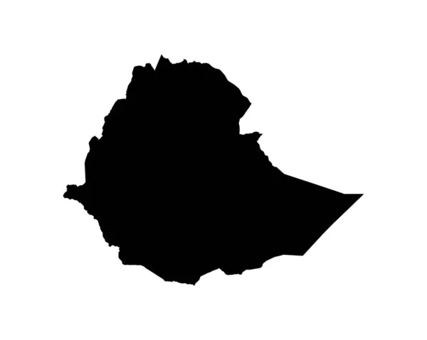
Suriname Map Surinamese Country Map Black White Surinam National Nation — Wektor stockowy

Suriname Map. Surinamese Country Map. Black and White Surinam National Nation Geography Outline Border Boundary Territory Shape Vector Illustration EPS Clipart — Wektor

Suriname Map. Surinamese Country Map. Black and White Surinam National Nation Geography Outline Border Boundary Territory Shape Vector Illustration EPS Clipart

 — Wektor od xileodesigns

Ta sama seria:

Belarus Map. Belarusian Country Map. Black and White National Outline Border Boundary Shape Geography Territory EPS Vector Illustration Clipart
Belarus Map Belarusian Country Map Black White National Outline Border — Wektor stockowy
Lesotho Map. Mosotho Country Map. Black and White Basotho National Nation Outline Geography Border Boundary Shape Territory Vector Illustration EPS Clipart
Lesotho Map Mosotho Country Map Black White Basotho National Nation — Wektor stockowy
Bolivia Map. Bolivian Country Map. Black and White National Outline Border Boundary Shape Geography Territory EPS Vector Illustration Clipart
Bolivia Map Bolivian Country Map Black White National Outline Border — Wektor stockowy
Central African Republic Map. Centrafrique Country Map. CAR Black and White National Outline Geography Border Boundary Shape Territory EPS Vector Illustration Clipart
Central African Republic Map Centrafrique Country Map Car Black White — Wektor stockowy
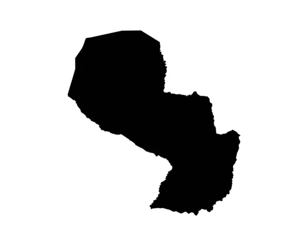
Paraguay Map. Paraguayan Country Map. Black and White National Nation Geography Outline Border Boundary Territory Shape Vector Illustration EPS Clipart
Paraguay Map Paraguayan Country Map Black White National Nation Geography — Wektor stockowy
Democratic Republic of the Congo Map. DRC DORC DR Congo Country Map. Congolese Black and White National Outline Geography Border Boundary Shape Territory EPS Vector Illustration Clipart
Democratic Republic Congo Map Drc Dorc Congo Country Map Congolese — Wektor stockowy
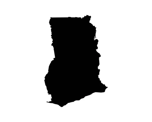
Ghana Map. Ghanaian Country Map. Black and White National Nation Outline Geography Border Boundary Shape Territory Vector Illustration EPS Clipart
Ghana Map Ghanaian Country Map Black White National Nation Outline — Wektor stockowy
Guyana Map. Guyanese Country Map. Black and White National Nation Outline Geography Border Boundary Shape Territory Vector Illustration EPS Clipart
Guyana Map Guyanese Country Map Black White National Nation Outline — Wektor stockowy
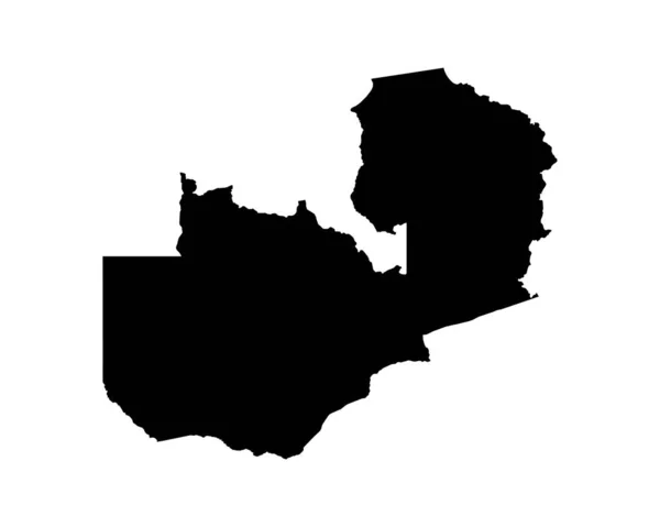
Zambia Map. Zambian Country Map. Black and White National Nation Geography Outline Border Boundary Territory Shape Vector Illustration EPS Clipart
Zambia Map Zambian Country Map Black White National Nation Geography — Wektor stockowy
Tanzania Map. Tanzanian Country Map. Black and White National Nation Geography Outline Border Boundary Territory Shape Vector Illustration EPS Clipart
Tanzania Map Tanzanian Country Map Black White National Nation Geography — Wektor stockowy
Rwanda Map. Rwandan Country Map. Black and White Rwandese National Nation Geography Outline Border Boundary Territory Shape Vector Illustration EPS Clipart
Rwanda Map Rwandan Country Map Black White Rwandese National Nation — Wektor stockowy
Burkina Faso Map. Burkinab Country Map. Burkinabe Black and White National Outline Border Boundary Shape Geography Territory EPS Vector Illustration Clipart
Burkina Faso Map Burkinab Country Map Burkinabe Black White National — Wektor stockowy
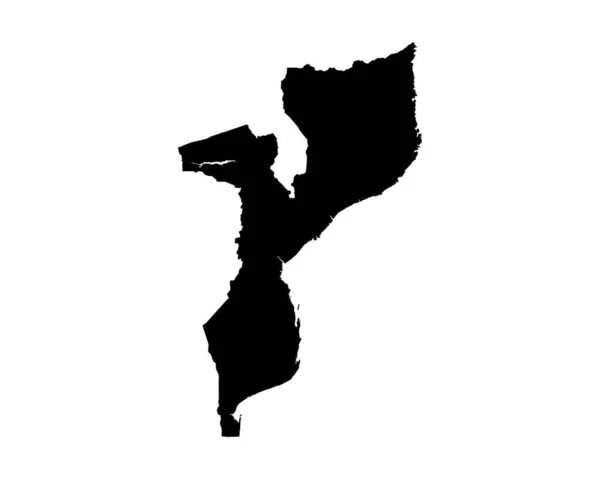
Mozambique Map. Mozambican Country Map. Black and White National Nation Outline Geography Border Boundary Shape Territory Vector Illustration EPS Clipart
Mozambique Map Mozambican Country Map Black White National Nation Outline — Wektor stockowy
Ethiopia Map. Ethiopian Country Map. Black and White National Nation Outline Geography Border Boundary Shape Territory Vector Illustration EPS Clipart
Ethiopia Map Ethiopian Country Map Black White National Nation Outline — Wektor stockowy
Botswana Map. Batswana Country Map. Motswana Black and White National Outline Border Boundary Shape Geography Territory EPS Vector Illustration Clipart
Botswana Map Batswana Country Map Motswana Black White National Outline — Wektor stockowy
Uruguay Map. Uruguayan Country Map. Black and White National Nation Geography Outline Border Boundary Territory Shape Vector Illustration EPS Clipart
Uruguay Map Uruguayan Country Map Black White National Nation Geography — Wektor stockowy

Informacje o użyciu

Możesz użyć tego obrazu wektorowego bez tantiem "Suriname Map. Surinamese Country Map. Black and White Surinam National Nation Geography Outline Border Boundary Territory Shape Vector Illustration EPS Clipart" do celów osobistych i komercyjnych zgodnie z licencją standardową lub rozszerzoną. Licencja standardowa obejmuje większość przypadków użycia, w tym reklamy, projekty interfejsu użytkownika i opakowania produktów, i pozwala na wydrukowanie do 500 000 kopii. Licencja rozszerzona zezwala na wszystkie przypadki użycia w ramach licencji standardowej z nieograniczonymi prawami do druku i pozwala na używanie pobranych plików wektorowych do celów handlowych, odsprzedaży produktów lub bezpłatnej dystrybucji.

Ten obraz wektorowy jest skalowalny do dowolnego rozmiaru. Możesz go kupić i pobrać w wysokiej rozdzielczości do 5000x4000. Data wgrania: 3 sie 2022